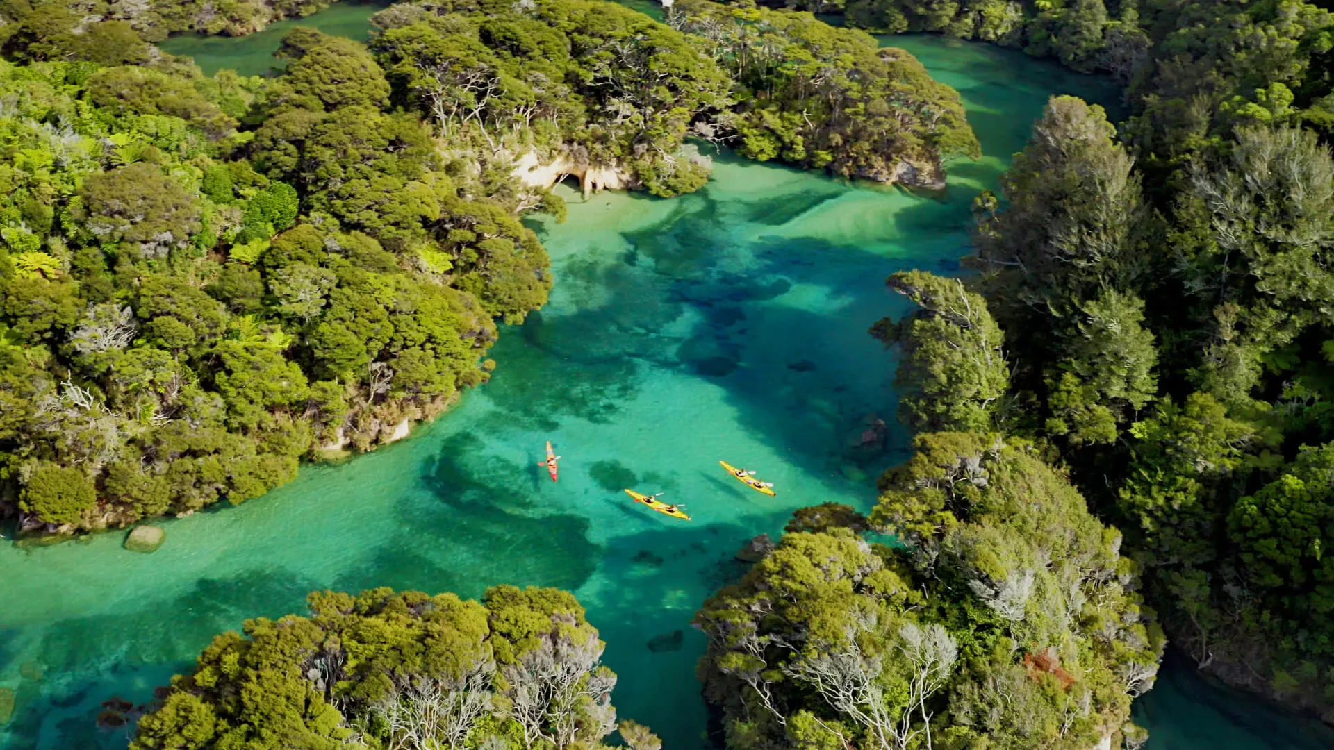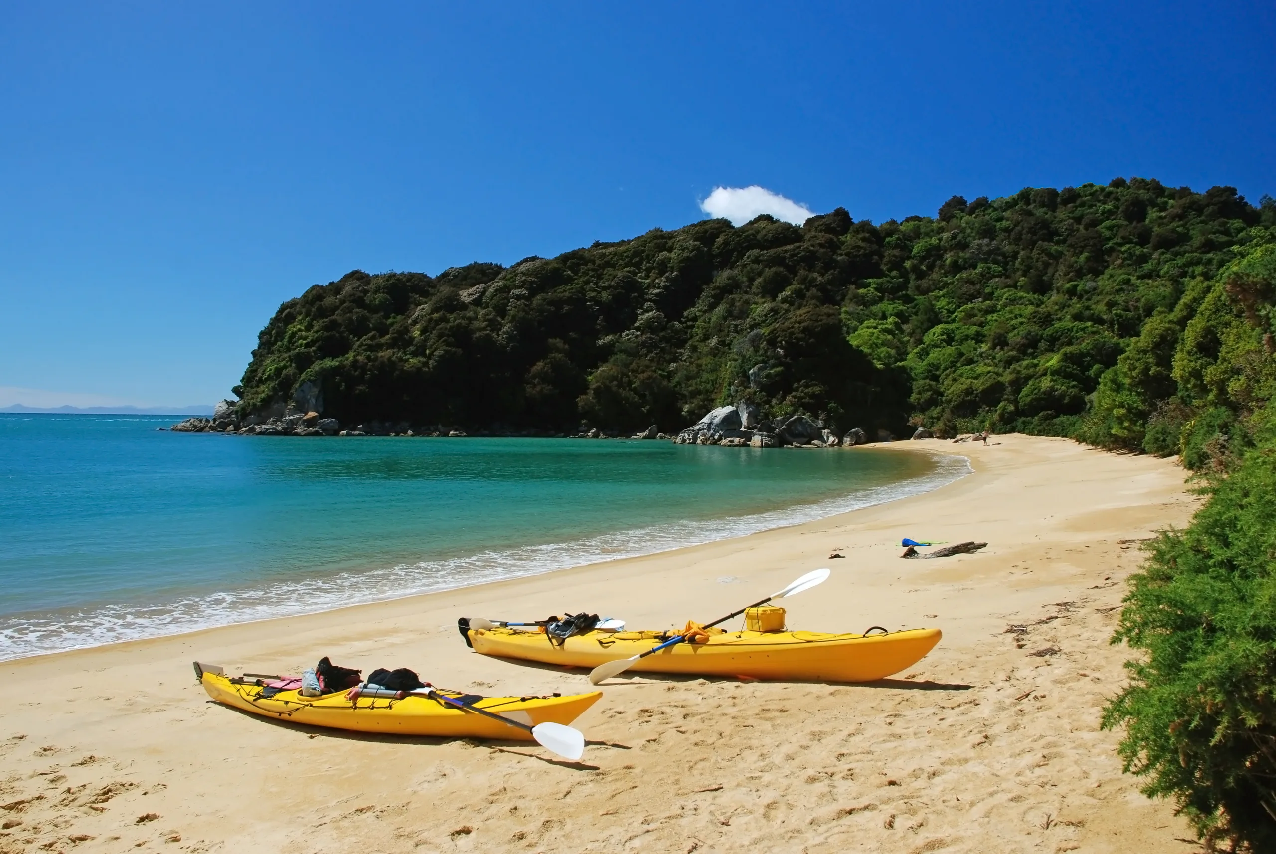
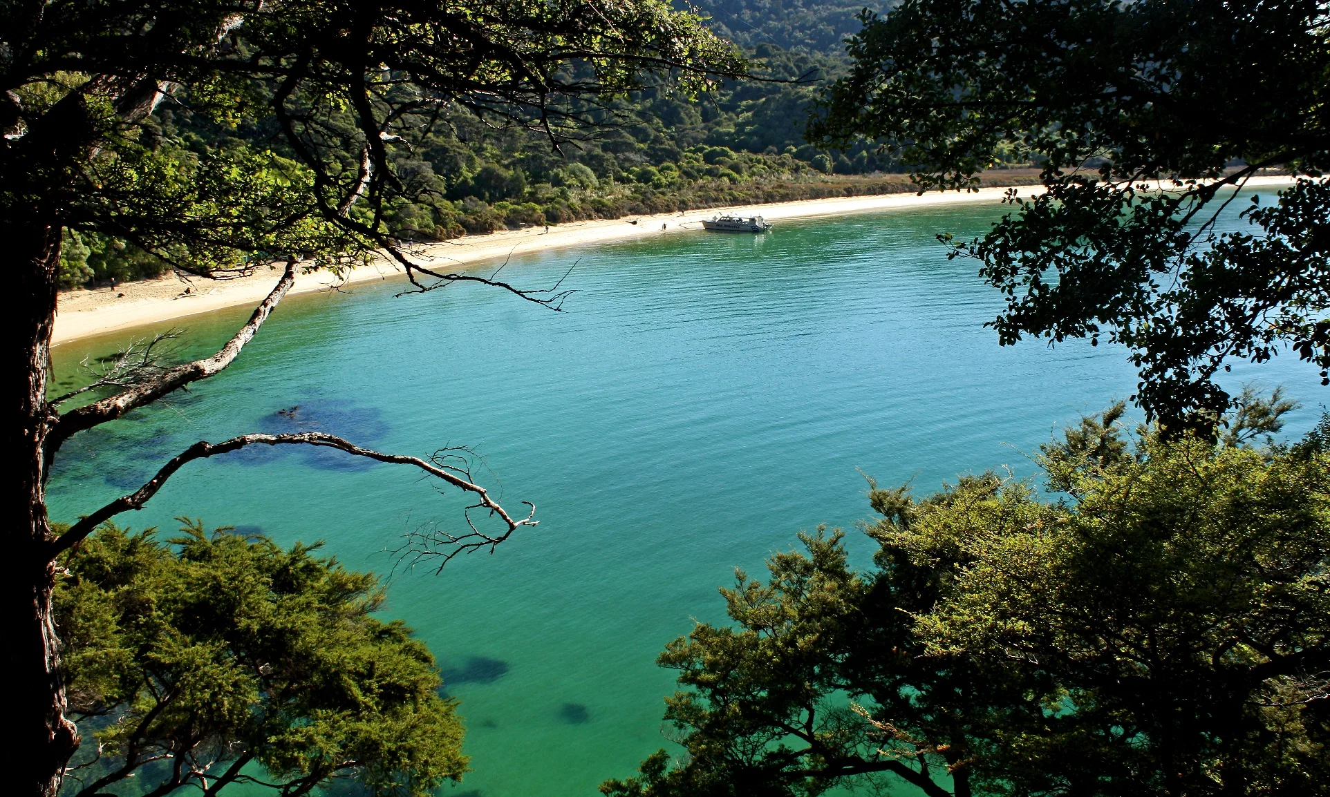
There aren’t many walks where you can spend the morning in cool native forest, eat lunch on golden sand and finish the day swimming in water so clear you can count the pebbles. The Abel Tasman Coast Track is one of them. It’s one of New Zealand’s Great Walks, and it starts right on our doorstep in Mārahau.
The track hugs the coastline for 60 km from Mārahau in the south to Wainui in the north, climbing over bush-clad headlands and dropping into bay after bay. Most people take three to five days to walk the whole way, but you don’t have to. Water taxis call in at beaches along the coast, so you can walk a single section in a day, or do what we think is the best day out in the park: see it from the water and the land.
Why it’s so special
The Abel Tasman is New Zealand’s smallest national park, but it packs a lot into a short stretch of coast: granite headlands, beaches of golden sand, estuaries that empty and fill with every tide, and a sea that shifts from deep green to turquoise with the light. The weather helps too. The region enjoys around 2,200 hours of sunshine a year, and summer days at Tōtaranui reach an average high of 23°C in January.
It’s also an easy track to fall for. It’s well marked and signposted, and there’s a beach to cool off at around almost every corner. You’ll still meet a few steep, rough or muddy stretches, so bring a reasonable level of fitness and good footwear, but you don’t need to be a seasoned tramper.
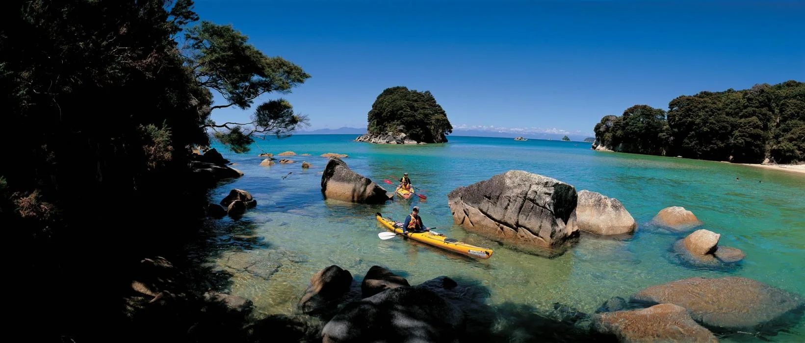
Granite boulders and turquoise water: the view around almost every headland.
The track, section by section
Here’s how the Department of Conservation (DOC) breaks the track into stages, walking south to north. The times are a guide for walkers carrying a pack, so leave room for swims, side trips and long lunches.
Mārahau to Anchorage · 12.4 km, about 4 hours
The track leaves the Mārahau car park, crosses the estuary on a causeway and climbs gently into the bush. You’ll pass Tinline Bay, Apple Tree Bay, Stilwell Bay and Akersten Bay, each worth a detour down to the sand, before dropping into Anchorage, a long golden beach with a hut and a large campsite. If you have energy left, a short loop from Anchorage leads to Te Pukatea Bay and out to Pitt Head for views back down the coast.
Anchorage to Bark Bay · 8.4 to 11.5 km, 3 to 4 hours
Time it right and you can stroll straight across the Torrent Bay estuary at low tide; otherwise the all-tide track takes you around its edge. The high-tide route passes the turn-off to Cleopatra’s Pool, a freshwater rock pool about 40 minutes return, while Cascade Falls is a steeper hour-and-a-half return trip from Torrent Bay. Then comes one of the highlights of the whole walk: the 47-metre swing bridge over Falls River.
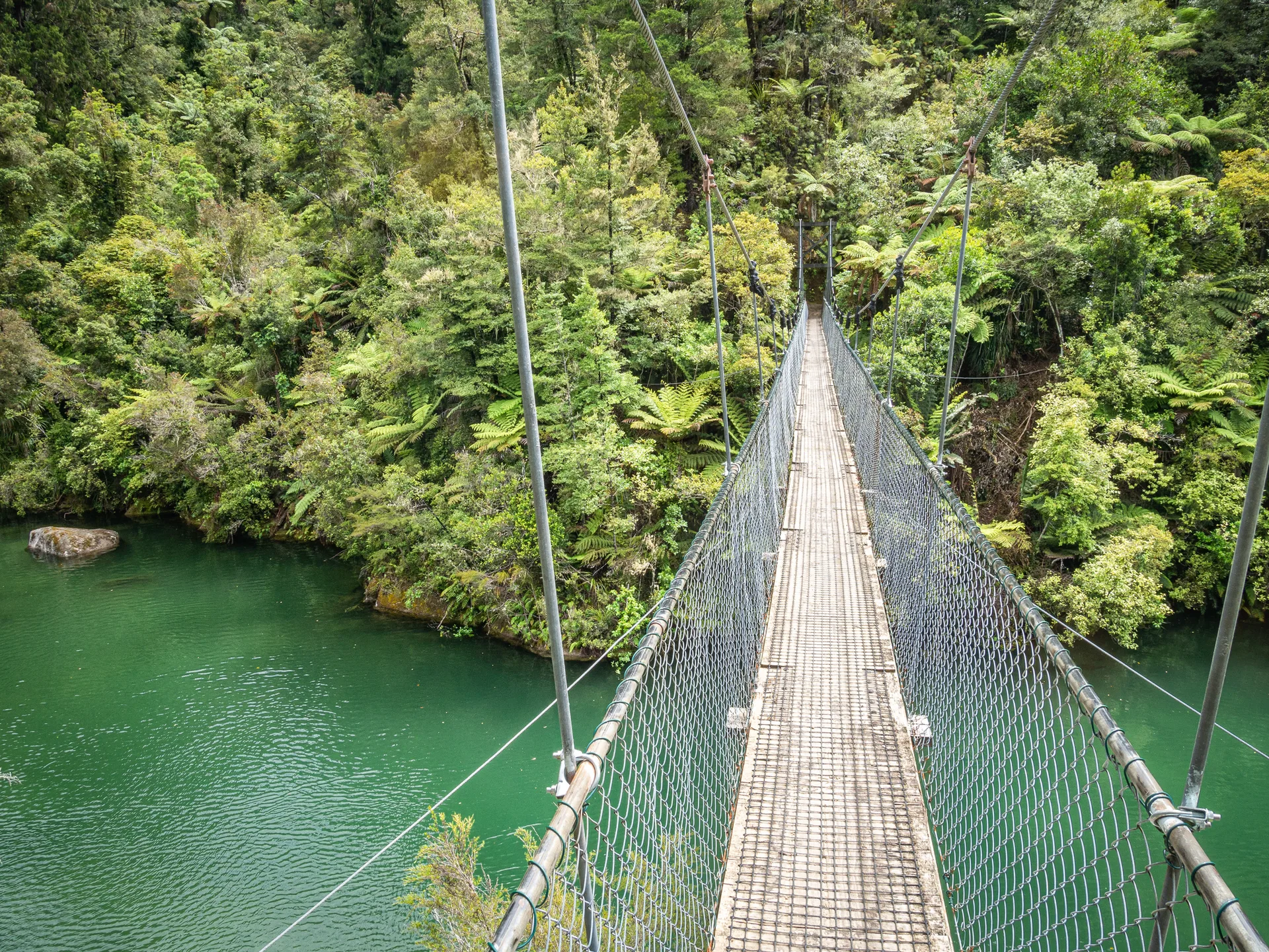
Swing bridges carry the track over the park’s forest rivers.
Bark Bay to Awaroa · 13.5 km, about 4½ hours
Bark Bay has its own optional low-tide shortcut. From there the track climbs past Tonga Quarry, a reminder of the park’s working past, then drops to Onetahuti, a sweeping beach looking out to Tonga Island. A boardwalk and bridge get you across the stream at any tide before the climb over Tonga Saddle and down to Awaroa.
Awaroa to Tōtaranui · 7.1 km, about 2 hours 20 minutes
This is where the tide calls the shots (more on that below). Once you’re across Awaroa Inlet, it’s an easy walk to Tōtaranui, a long arc of sand with a large DOC campground and road access.
Tōtaranui to Wainui · 15.5 km, about 5¼ hours
The final stretch is the quietest. It’s 9.8 km to Whariwharangi Hut, a restored farmhouse built in the 1890s, then 5.7 km over the hill to the Wainui car park. Add about an hour to detour via Separation Point / Te Matau and its fur seal colony.
Plan around the tides
The tides here rise and fall by up to five metres, and they shape every day on the track. Check the times before you set your itinerary:
- Awaroa Inlet is the one crossing you can’t avoid. Cross within 1½ hours before and 2 hours after low tide, in daylight only, and allow around 25 minutes. There’s no high-tide track, and after very heavy rain the inlet may be impassable. Arrive early? Wait at Awaroa Hut or Pound Gully.
- Torrent Bay can be crossed within 2 hours either side of low tide, saving about an hour; otherwise take the all-tide track.
- Bark Bay has the same window, or a 10-minute all-tide track.
- Goat Bay has a short beach section that can be cut off at big high tides. Wait for the water to drop.
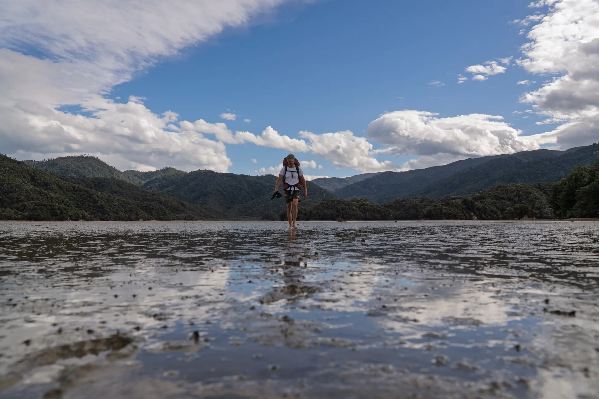
Crossing Awaroa Inlet at low tide. Time it right and it’s one of the highlights of the walk.
DOC publishes tide tables for the track. If the timing just won’t work, water taxis run between Awaroa and Tōtaranui. And if you’re combining a walk with a kayak trip, tell us your plans and we’ll help you line it all up.
Huts, campsites and bookings
Every hut and campsite on the track must be booked in advance, all year round, through DOC. Backcountry hut passes aren’t valid here, and you can stay up to two nights at each site from October to April (five nights from May to September). There are four huts:
- Anchorage Hut, 34 bunks
- Bark Bay Hut, 34 bunks
- Awaroa Hut, 26 bunks
- Whariwharangi Hut, 20 bunks, in the old farmhouse
There are also 18 campsites, for tents only (no hammocks). The huts have a heater but no cooking facilities or lighting, so bring a stove, fuel and a torch. Toilets are at every hut, campsite and car park. The Tōtaranui campsite can only be booked for one night.
Read our guide to campsites and huts and how to book your camp pass for help planning your overnight stops.
Getting there and getting around
Mārahau is the southern gateway to the track, 67 km from Nelson on a sealed road. It’s where we’re based, with cafés, places to stay and parking. At the northern end, Wainui is 21 km from Tākaka, and Tōtaranui can be reached by road too (the last 12 km is unsealed).
Water taxis run all year between Mārahau or Kaiteriteri and Tōtaranui, stopping at Apple Tree Bay, Anchorage, Medlands, Bark Bay, Tonga Quarry, Onetahuti and Awaroa. They need to be booked, and they don’t go north of Tōtaranui. Walking one way and riding back is the easiest way to fit a slice of the track into a single day.
Walk it, paddle it, or both
Here’s our favourite secret: the Coast Track is even better when you see the coast from the water as well. From a kayak you’ll slip into coves the track only looks down on, drift past granite boulders and, around Tonga Island Marine Reserve, share the water with fur seals. Our kayak-and-walk trips take care of the logistics:
- Southern Blend · Kayak & Walk: paddle the southern coast, then follow the bush-lined track back to Mārahau.
- Swingers Delight: walk from Torrent Bay to Bark Bay over the Falls River swing bridge, then kayak home with a guide.
- The Serenity: kayak from Onetahuti to Bark Bay, then walk south to Anchorage at your own pace.
- Cleopatra’s Retreat: walk via Cleopatra’s Pool, then spend the afternoon on the water.
- Anchorage Ramble: take a water taxi to Anchorage, stretch your legs on the track and paddle home with a guide.
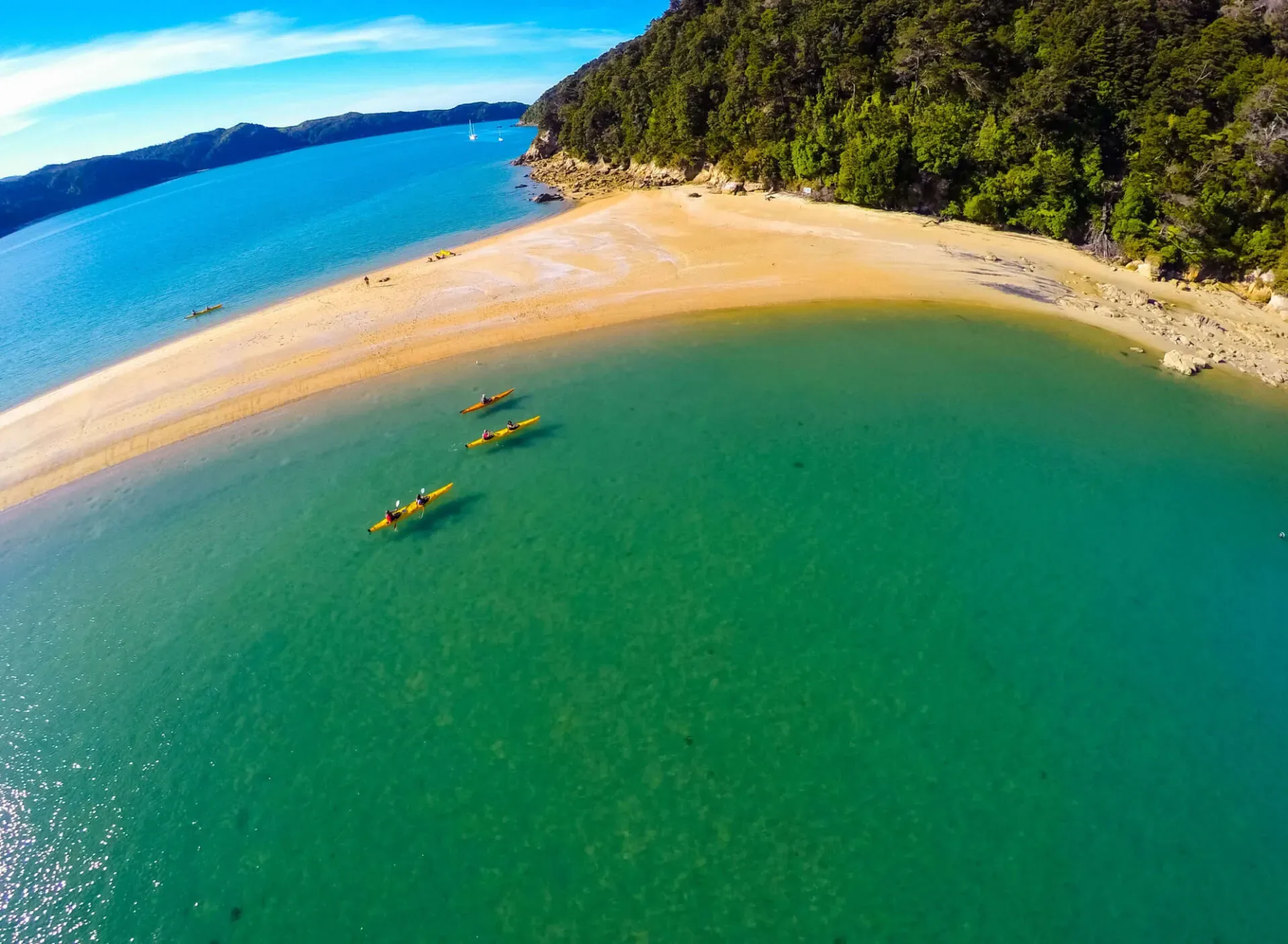
See the coast from the water, then walk the headlands above it.
Rather go at your own pace? Our freedom kayak-and-walk trips let you paddle north for one to three days, then leave the kayak and carry on by foot. Our freedom hire area reaches as far north as Shag Harbour, so only plan to camp north of Onetahuti if you’re continuing on foot. See all our guided tours for more ideas.
A little history
Māori have lived along this coast for at least 500 years. Today Te Ātiawa, Ngāti Rārua and Ngāti Tama are kaitiaki (guardians) of the area.
In December 1642 the Dutch explorer Abel Tasman anchored in Golden Bay. A clash with Ngāti Tumatakokiri left four of his crew dead, and he sailed on without landing. Three hundred years later, in December 1942, the national park opened in his name, thanks largely to a campaign led by conservationist Perrine Moncrieff.
In between, settlers farmed, quarried, milled timber and stripped bark here, and much of the forest was burned. The coast you walk through today has been growing back for decades. In 2016, around 40,000 New Zealanders chipped in to buy Awaroa Beach through crowdfunding and add it to the park, and conservation work led by Project Janszoon helped bring back birds such as kākā, kākāriki and tīeke.
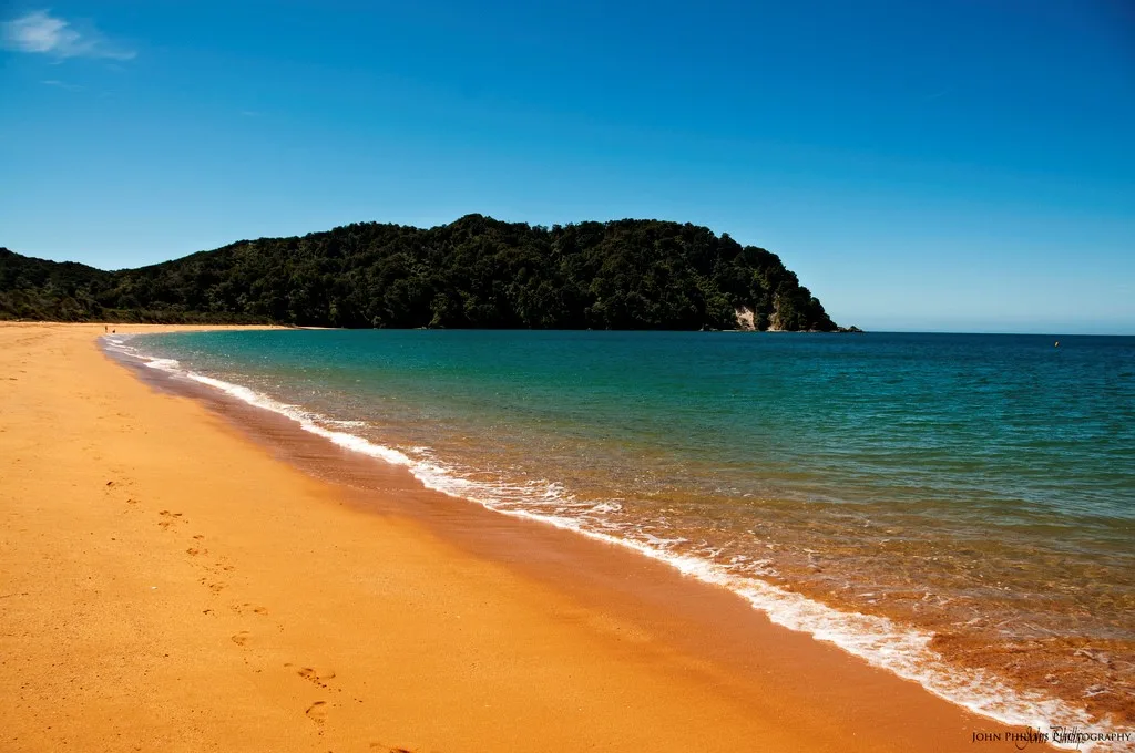
Tōtaranui’s long golden beach, a favourite place to end a day’s walk.
Know before you go
- No dogs are allowed in the national park.
- Book every night. Huts and campsites need bookings all year.
- Treat your water. Water on the track is untreated, so boil, filter or treat it before drinking.
- Pack it all out. No food is sold on the track; take your rubbish home with you.
- Fires are only allowed in designated DOC fireplaces, and drones need a DOC permit.
- Sun and sandflies. Bring sunscreen, a hat and insect repellent, and carry plenty of water on hot days.
- Don’t rely on your phone. Tell someone your plans, and carry a personal locator beacon on multi-day walks.
- Respect the wildlife. Don’t feed the weka, and keep at least 20 metres from seals.
- Earthquakes. If you feel a long or strong one near the coast, head for higher ground in case of a tsunami.
Track conditions change, so always check DOC’s latest track information and alerts before you set out.
If you’d like a hand planning your route, or want to see the coast from the water as well as the land, come and talk to us in Mārahau. We’ve paddled and walked every corner of it, and we’d love to help you find your favourite.