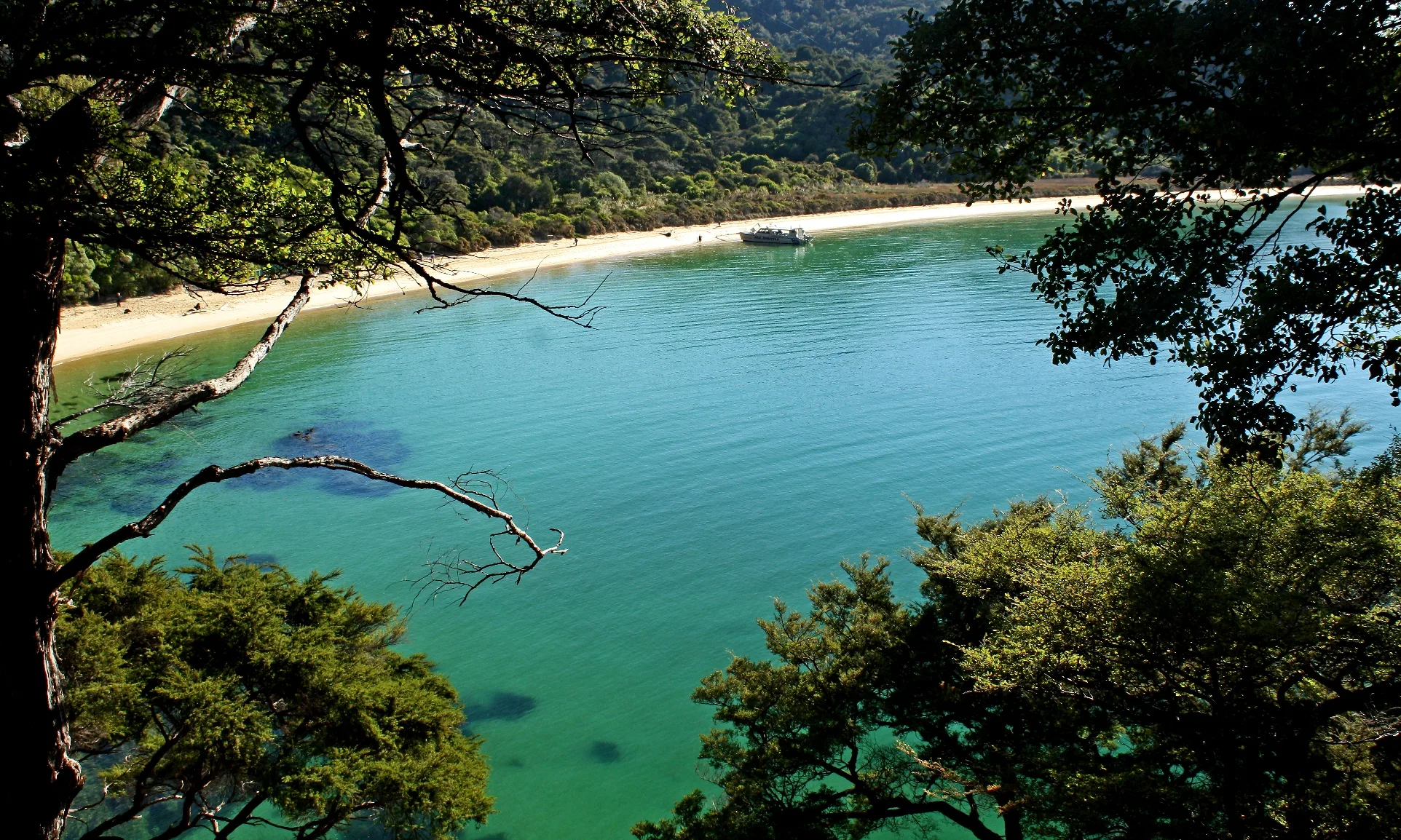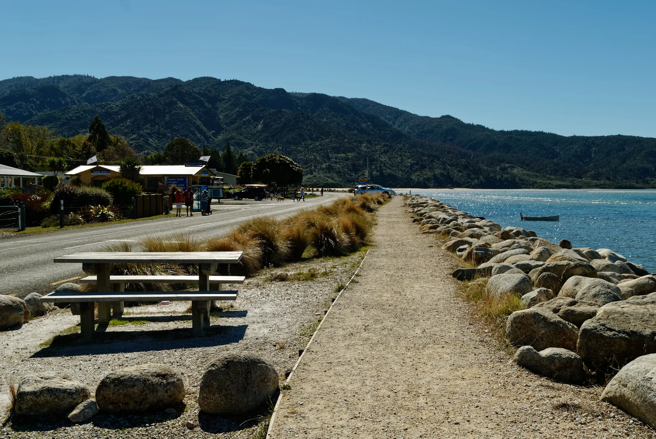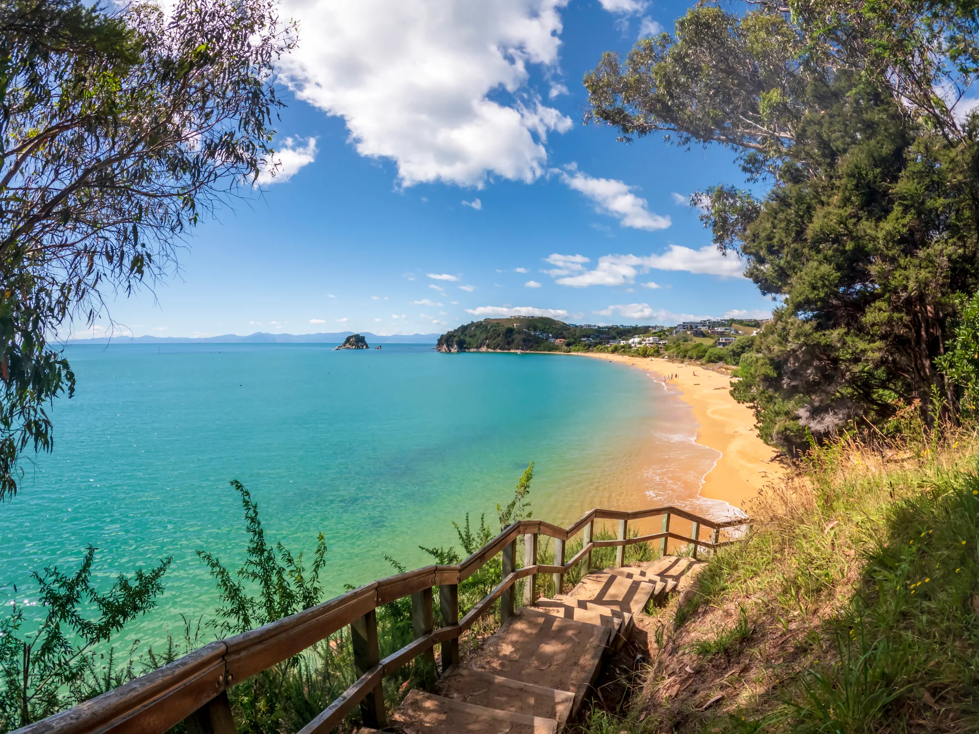
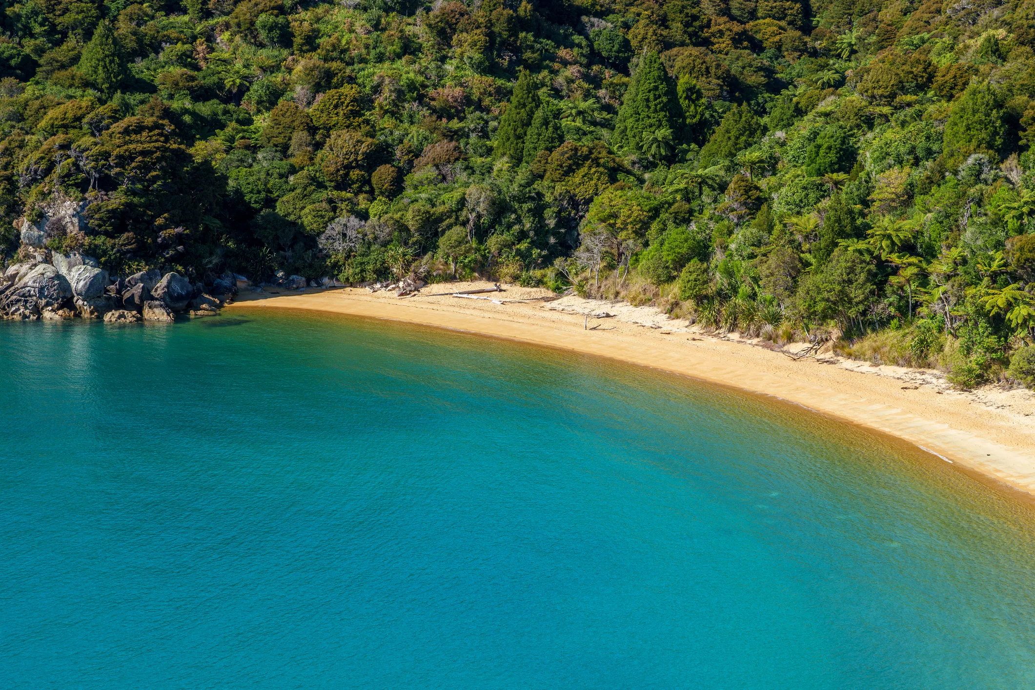
There’s a perfectly good reason people come here for a day and start asking about tomorrow. The Abel Tasman coast keeps changing: a pocket of sand between granite headlands, a wide tidal inlet, an island full of birdsong. Picking one favourite is a bit unfair on the others.
This guide works north from Mārahau, with the offshore islands in their own section. Use it to choose a place, then check the park map, weather and tides and the right transport. A beach that looks close on the map can be a very different proposition on foot and in a kayak.
Choose your kind of beach day
- Short walk from Mārahau: head towards Tinline and Coquille, with time to turn back rather than committing to Anchorage.
- A walk, a beach and a boat connection: Anchorage is a useful starting point; add Pitt Head or Te Pukatea if your timing allows.
- A longer coastal adventure: look at Bark Bay and Onetahuti, with a trip and pickup arranged around your group.
- A stay reached by water: Mosquito Bay needs its own access plan. There is no walking-track connection or scheduled water taxi.
- A beach you can drive to: Tōtaranui has road access through Golden Bay. It is a separate drive around the park, not a coastal road from Mārahau.
Tinline, Coquille & Apple Tree Bay
The southern Coast Track lets you start with a modest walk and see how everyone is feeling. Tinline is known for its tree perched on a granite boulder; Nelson Tasman’s Tinline guide describes the landmark and approach. Carry on towards Coquille for one of the coast’s small sand-and-bush coves. You don’t need to walk the whole Great Walk to have a very good day.
Apple Tree Bay lies farther along the southern coast, looking towards the islands across Astrolabe Roadstead. It has a small campsite and private property nearby, so respect signs and boundaries. This local operator’s destination guide explains the walking and water access. For a paddle here, compare our guided trips with freedom kayaking before choosing your route.
Anchorage & Torrent Bay
Anchorage is a generous sweep of sand with headlands at either end, a DOC hut and a campsite. It is a useful meeting point for walkers and boat passengers as well as a destination in its own right. Allow a proper half-day for the walk from Mārahau: Nelson Tasman lists about four hours one way. A return walk is a much bigger day than a beach visit with one boat leg.
Torrent Bay adds an estuary to the scenery. The shortcut crosses tidal flats; an all-tide track goes around them. Under normal conditions DOC gives the crossing a window of two hours either side of low tide. Use DOC’s current tide tables, and take the longer route when the crossing is unsuitable. Build that extra walking into your pickup plan.
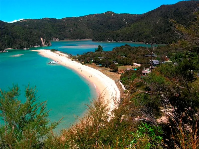 Torrent Bay: the water changes the route as well as the view.
Te Pukatea Bay & Pitt Head
Te Pukatea is the little horseshoe bay reached on a side trip from Anchorage. The Pitt Head route gives you the view from above before you settle on the sand. The regional tourism guide suggests around 1½ hours return via Pitt Head and notes there are no water-taxi drop-offs here. Arrange your boat at Anchorage instead, and leave a generous margin for the walk back.
This is a good choice if you like a beach with a walk attached. Take lunch, choose a turnaround time, and enjoy the headland rather than trying to fit several distant bays into the same afternoon.
Bark Bay & Onetahuti
Bark Bay brings together a sandy beach, an estuary and forest. It works as a pause on a longer walk or an overnight stop with a reservation. DOC’s campsite information confirms walking and boat access, with no drive-in access. Ask your water-taxi operator for the exact beach and meeting time: nearby landing points are not interchangeable.
Onetahuti, often called Tonga Beach, is farther north and looks out towards Tonga Island. The DOC campsite page identifies it as a scheduled water-taxi stop with walking access too. It can form part of a multi-day paddle, but book your night and agree the itinerary before setting off.
Kahu’s northern freedom-kayaking limit is Shag Harbour. Don’t book a campsite north of Onetahuti as part of your paddling itinerary unless you are continuing on foot. The crew will work through the practical limits and conditions at your briefing.
Mosquito Bay: arrange water access first
Mosquito Bay is one to plan deliberately. DOC says there is no track from the Coast Track and no water-taxi service. You need your own arranged boat or kayak access before booking the campsite. It is not somewhere to select on a walking itinerary and sort out later.
If you fancy staying there on a freedom kayaking trip, talk to us about your experience, the route and the forecast first. A small campsite beside the water can be a highlight; a booking without a workable way to get there is rather less fun.
Awaroa & Tōtaranui
Awaroa has two very different faces: the open beach and the broad inlet behind it. The inlet is a serious planning point for walkers. DOC’s normal crossing window is 1½ hours before to two hours after low tide, in daylight, and weather or tide heights can make it unsafe. There is no all-tide alternative. Check the crossing guidance for your actual date rather than treating a generic timetable as permission to go.
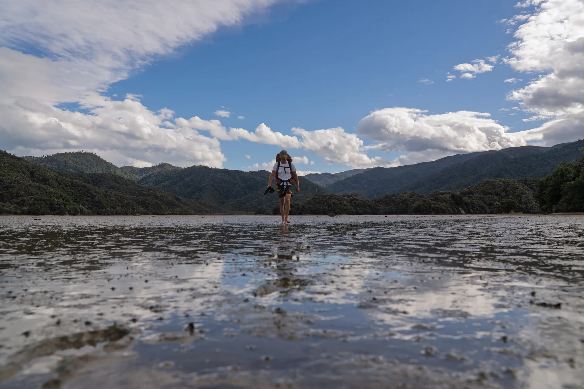 Awaroa Inlet at low tide. Your walking plan needs to fit the crossing window.
Tōtaranui is the road-accessible camping option at the northern end of this guide. The approach comes over Tākaka Hill and through Golden Bay; the final 12 km are narrow, winding and unsealed. DOC’s campground guide covers access, gate times and bookings. It deserves its own stay rather than being treated as a quick drive up the coast from Mārahau.
Both Awaroa and Tōtaranui are beyond Kahu’s freedom-kayaking area. Explore them with walking and boat connections that fit your plans. Our Coast Track guide helps you put the sections together.
Adele, Fisherman, Tonga & Pinnacle islands
Adele / Motuareronui and Fisherman / Motuareroiti sit off the southern coast. Pause on the water and listen: the islands’ wildlife is part of the reason to come this way. DOC’s island guidance explains how to protect them: check boats, bags and food containers for pests, and clean soil and seeds from gear. There are no toilets on these islands and camping is not permitted.
Tonga and Pinnacle islands have protected seal colonies; public access requires a permit. Enjoy them from the water. Around Tonga, the Tonga Island Marine Reserve protects the marine environment as well. Leave wildlife space, keep at least 20 metres from seals, and do not fish or collect marine life inside the reserve. A sighting is a privilege, never a promise.
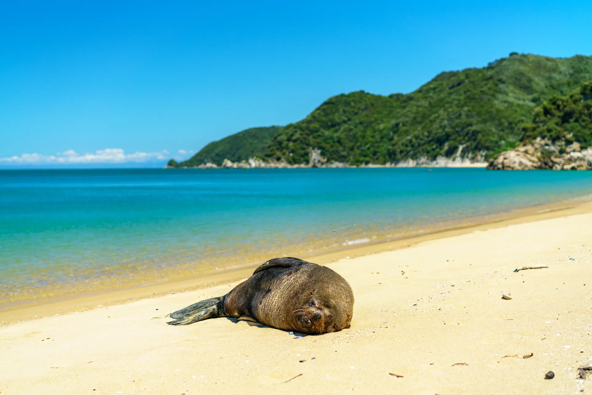 An Abel Tasman fur seal. Keep your distance and let wildlife get on with its day.
Make the route work before you go
- Check the forecast and tides and DOC alerts shortly before travelling. A sheltered-looking bay does not tell you what the exposed headland will be doing.
- Book both the outward and return legs of a boat trip. Confirm the pickup beach, time and what happens if weather changes the service.
- Reserve overnight stays before you leave. Our campsites and huts guide explains the options; camping bookings and transport bookings are separate.
- Carry drinking water, food, sun protection and a warm waterproof layer. Take your rubbish back out and leave room in the day for stops.
- For a first visit, tell the Kahu crew what matters most: time paddling, a beach stop, wildlife or a walk. We can help you choose a sensible combination.
Sources & trip updates
Researched 12 October 2026 using the linked DOC campsite, island and tide guidance, Nelson Tasman destination pages and local operator information. Check DOC’s live park alerts before departure. Access, weather and transport can change; this guide helps you choose a trip, while the live advice helps you plan the day.