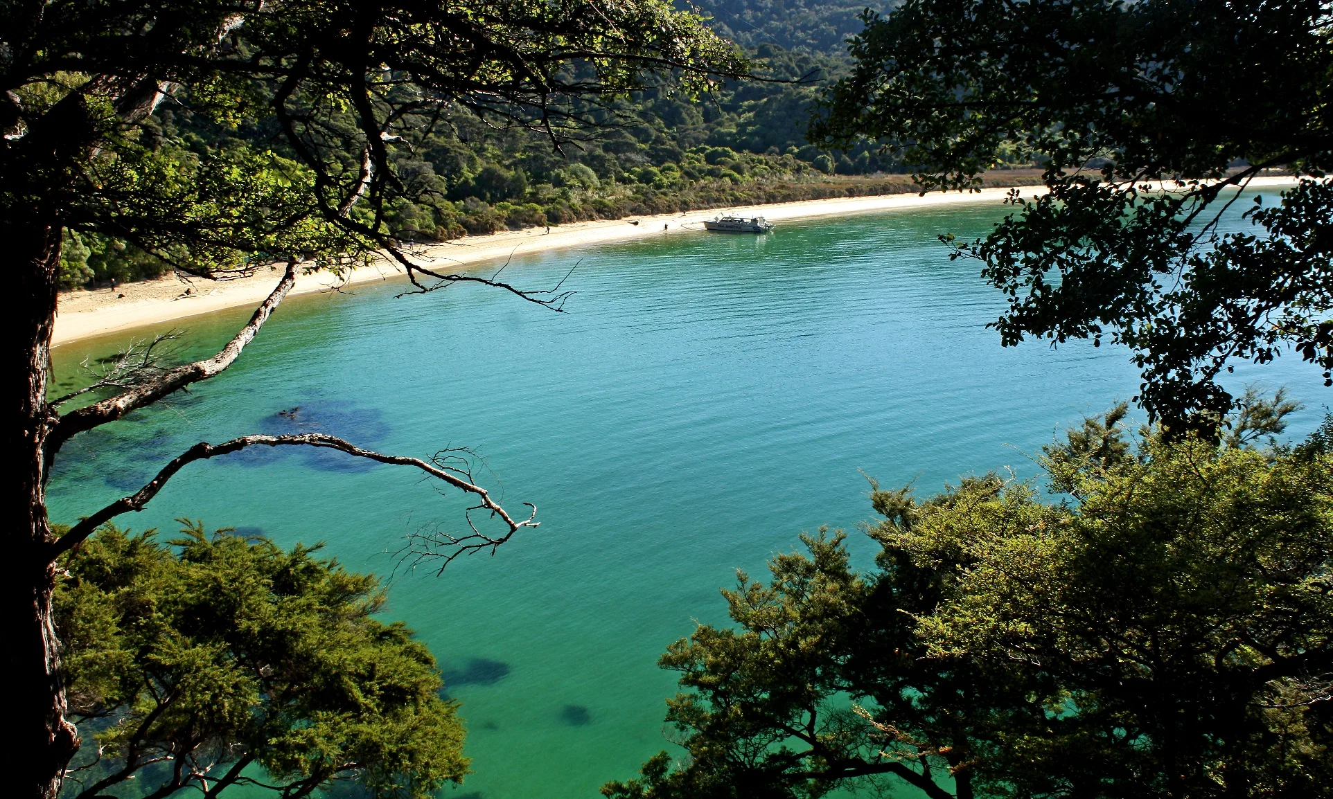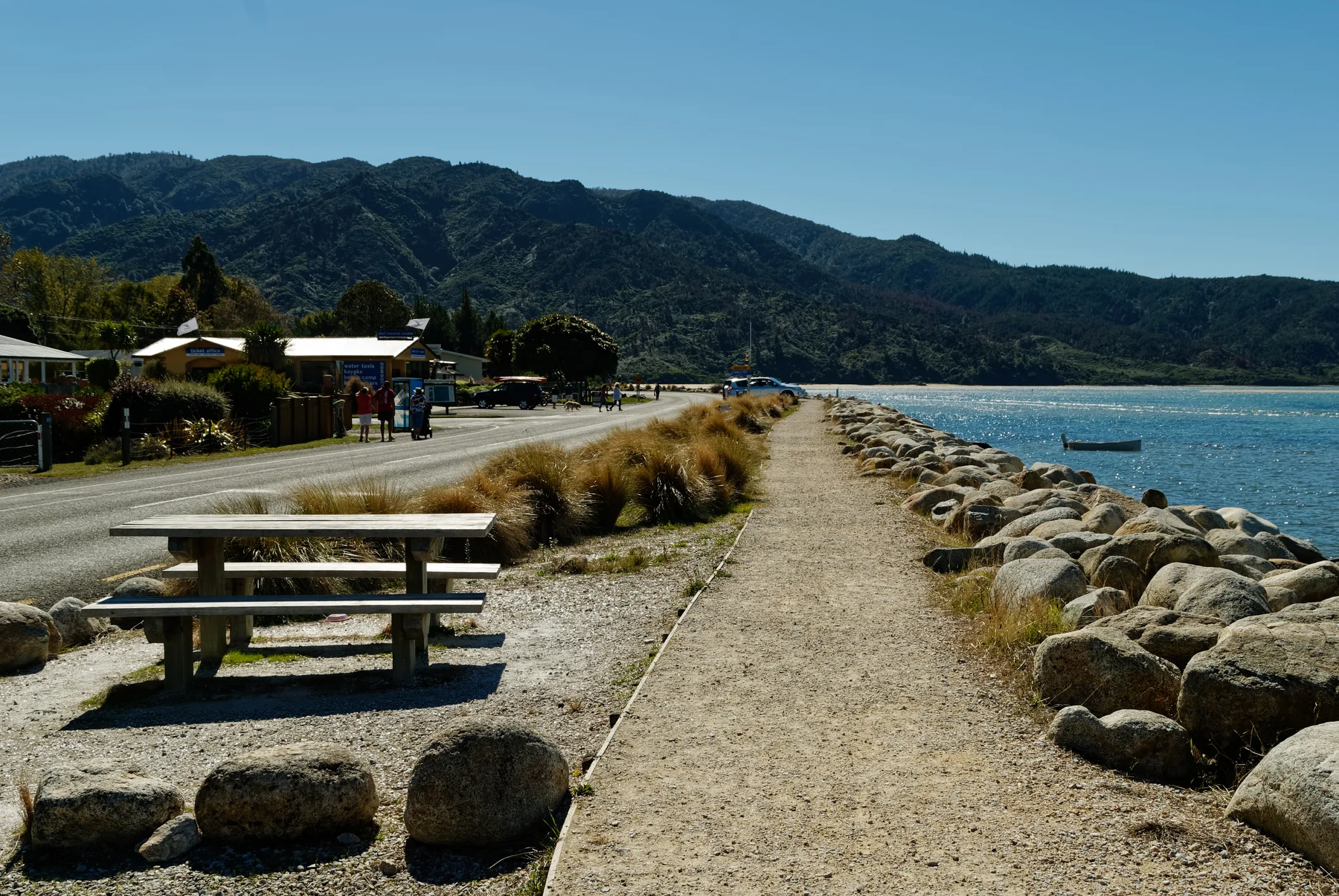
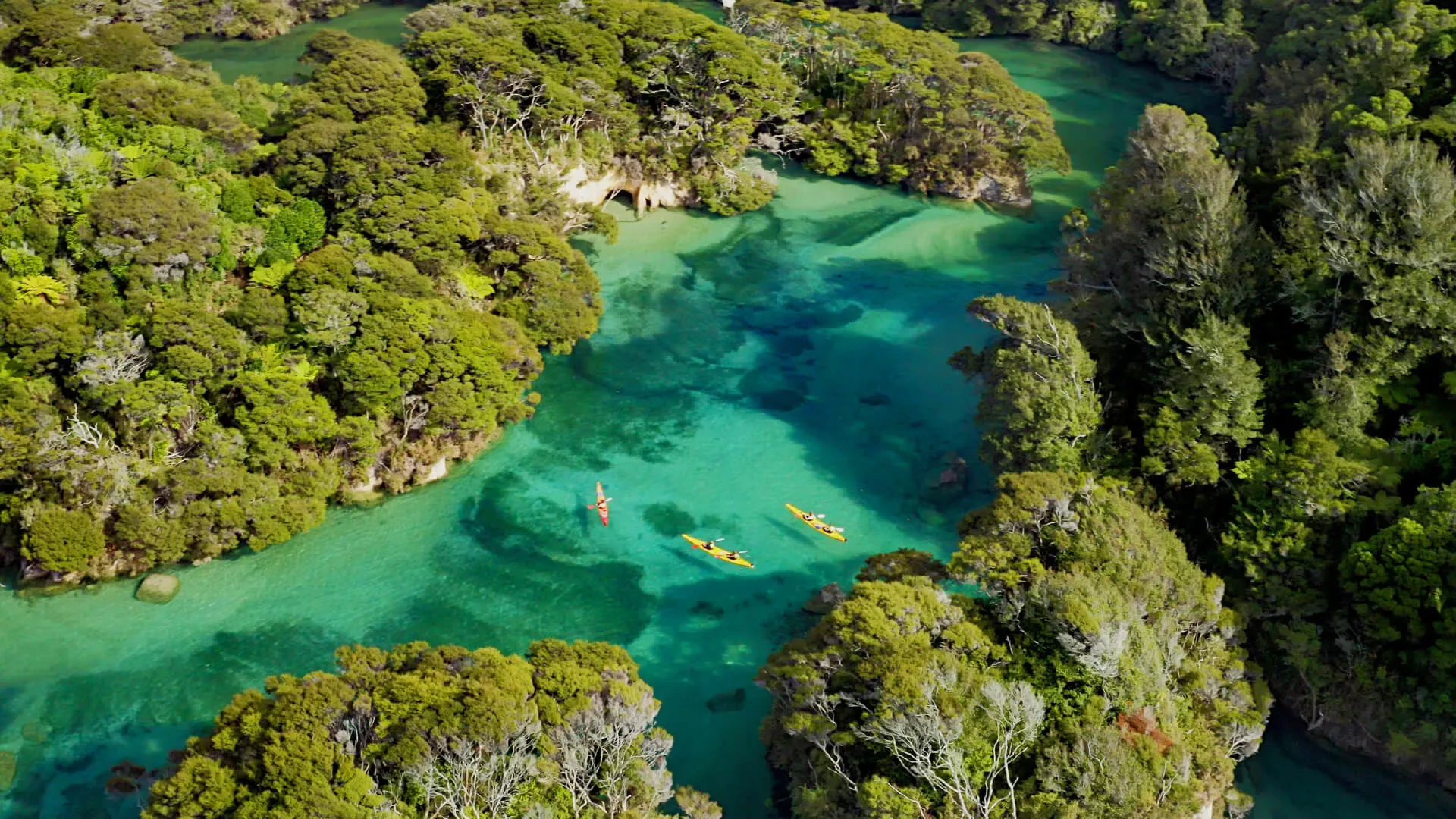
A weather symbol can tell you to pack sunglasses. It cannot tell you whether a particular headland will be suitable for your group in a kayak. Plan the whole trip around the forecast and the tide, then keep checking what is actually happening around you.
Choosing a season: prepare for the day you get
Longer summer days give you more daylight to work with. Outside summer, a shorter day needs a shorter plan, especially when you are combining a paddle with a walk or pickup. None of the seasons removes the need for warm clothing, rain protection and a sensible turnaround time.
If you can, leave some flexibility around your adventure rather than making it the only possible activity in a tightly packed schedule. Talk to the crew about your dates and the kind of trip you have in mind. We’ll help you understand the practical choices; suitable weather is never something a calendar can promise.
Read the marine forecast, not just the town forecast
Use MetService’s Abel coastal forecast for the marine picture and check marine warnings as well. Look at the forecast period covering your return journey, not only the hour you expect to launch. Recheck before departure because forecasts and warnings are updated.
Read the wind direction, strength and expected changes alongside sea and swell information. A route that looks sheltered in one wind can be exposed in another. The crew’s briefing helps connect the regional forecast to your planned route, landing options and group.
Do not treat the absence of a marine warning as approval to paddle. Warnings describe particular weather hazards; your experience, equipment and the local conditions still matter. Follow the limits and instructions given by Kahu, and raise questions before you leave.
High tide for paddling is not low tide for walking
The coast’s inlets change dramatically between high and low water. A beach landing can involve a longer carry when the water retreats, and a lagoon that looks inviting on a photograph may not have enough water when you arrive. Ask about your route’s access points and allow time for loading, landing and carrying equipment.
Walking crossings need their own plan. Use DOC’s Abel Tasman tide tables and crossing advice for the actual date. Don’t apply a general “two hours either side” rule to every inlet, and don’t estimate your crossing time by subtracting a fixed amount from a distant port’s tide prediction.
Awaroa Inlet: a compulsory tidal crossing
For walkers continuing across Awaroa Inlet, DOC’s window is from 1 hour 30 minutes before low tide to 2 hours after low tide, in daylight only. There is no all-tide walking route around the inlet. Rain and other conditions can affect whether a crossing is possible; check current advice as well as the timetable.
Build the crossing into the overnight plan before booking huts, campsites or transport. If you cannot reach it within the permitted window in suitable conditions and daylight, change the itinerary. This is a walking rule for Awaroa, not permission to paddle there on a Kahu freedom-hire trip.
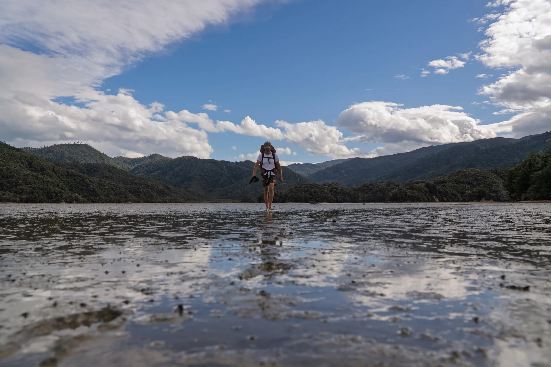 Awaroa Inlet. A photograph is not a guide to today’s water level or crossing conditions.
Torrent Bay & Bark Bay: use the alternatives
At Torrent Bay, DOC allows the estuary crossing within 2 hours either side of low tide under normal conditions. An all-tide track goes around the estuary. Include the longer route in your timing if you won’t reach the shortcut at the right tide.
Bark Bay also has an all-tide route around the inlet. Read the current Coast Track description and follow local signs rather than assuming every exposed stretch of sand is the intended crossing. Our Coast Track guide explains how these sections fit into a walking trip.
Before you leave: check, pack & share the plan
- Check the latest forecast, marine warnings, DOC alerts, tide times and available daylight. Confirm the route and return arrangements with the crew.
- Bring the clothing and equipment in your booking and briefing instructions, including warm layers, rain and sun protection. Keep spare clothing dry.
- Save relevant information offline, carry a map you can use and tell your trusted contact the route and expected return time.
- Ask about the communication and emergency arrangements for your trip. Do not rely on mobile reception or park Wi-Fi.
Once out, stay together, watch for changes and follow your briefing. If conditions deteriorate or someone is uneasy, use the options discussed with the crew. A booking, a pickup time or a campsite reservation is never a reason to push on into unsuitable conditions.
For help joining the pieces together, talk to Kahu before you reserve your nights. Our park map is useful for getting familiar with the coast; current official guidance and the trip briefing remain essential.
Researched 20 October 2026 using MetService’s marine forecast and warnings, DOC’s tide tables and Coast Track description, and Project Janszoon’s connectivity update. This is planning guidance, not a live forecast or a statement that any crossing is safe now. Always check the linked official sources for your travel date.